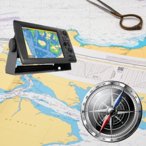
A talk with the aim of helping members understand navigation charts and chart plotters, the essential tools for good passage planning, was held at the Waterfront Hotel Sliema on Friday 11th October 2019.
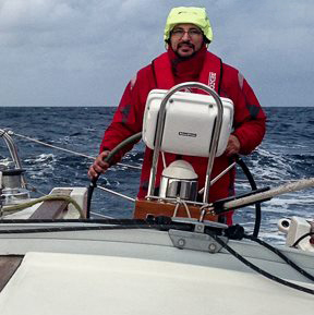
The talk was given by Mr David Jones a member of the Club, a Master Mariner for some 20 years and currently, a Marine Surveyor working for a company that helps Lloyds underwriting syndicates to reduce marine risks in clients with a history of losses. Mr. Jones is also a sailing boat owner and surveys yachts for pre-purchase and insurance.
The topics covered included:
- The WGS84 standard (the standard used worldwide since 1984 in cartography, geodesy, and satellite navigation including GPS)
- The classical errors on the use of chart plotters, also giving examples
- The information and symbols on navigational charts
- Navigational awareness and the drawing of a course from headlands
- Understanding electronic chart updates
- The use of pilot books
This was another interesting talk in a series of technical talks the Club is has organized aimed at improving the skills and knowledge of the Club members.
The talk was followed by a buffet dinner at the Waterfront Hotel.